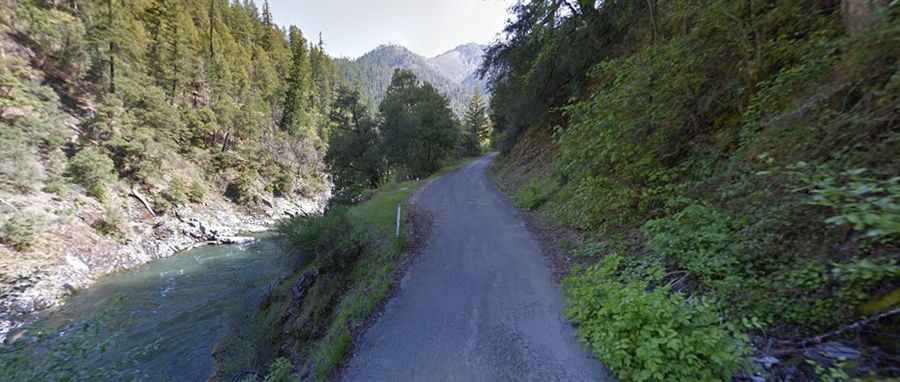
Salmon River Road in California: You can’t be scared of steep narrow roads
Located in Siskiyou County, in the U.S. state of California, Salmon River Road is a narrow road with ledges and cliffs through a dramatic river canyon.

Is Salmon River Road in California paved?
Tucked away within the Six Rivers National Forest, the road is fully paved but very narrow bordered by a drop of hundreds of meters (many hundreds of feet) with no guard rails or any kind of protection above Salmon River. Not for the faint of heart. Avoid it if you’re scared of ledges and cliffs.
How long is Salmon River Road in California?
Located in the northernmost part of California, the road is 27.68km (17.2 miles) long, running from Somes Bar (off from Highway 96) to Forks of Salmon following the river upstream.
How to drive the Salmon River Road in California?
The proximity to the Pacific Ocean makes it susceptible to quick changes in weather and temperature. Cold rain (and even snow) frequently occur in April and early May. It’s a one lane road with two way traffic: drive slowly, pull over for oncoming traffic and use extreme caution. You cannot be scared of steep narrow roads though. Rockslides are very common, with huge drops off. The road is not suitable for RVs of any size.