How to get by car to Salton Sea in California?
The Salton Sea is an inland saline lake straddling Imperial and Riverside counties, in the US state of California. It’s one of the Earth’s Lowest Elevations at -227 ft (-69 m) below sea level.

What is the Salton Sea?
The Salton Sea was formed accidentally in the early 1900s when the Colorado River flooded the Salton Sink. Covering around 343 square miles, it is California's largest lake by surface area, though shallow. Its high salinity supports diverse bird species along the Pacific Flyway and salt-adapted fish. However, the lake faces environmental issues like dropping water levels, rising salinity, and algae blooms, threatening its ecosystem. Efforts to address these problems continue, but finding sustainable solutions remains challenging. The lake has an extremely high salt content and is surrounded by salt flats which can easily be broken using one's hand.
Where is the Salton Sea?
The lake is located in the Sonoran Desert of extreme southeastern California. It can be reached by 2 paved roads.
How to get by car to the Salton Sea?
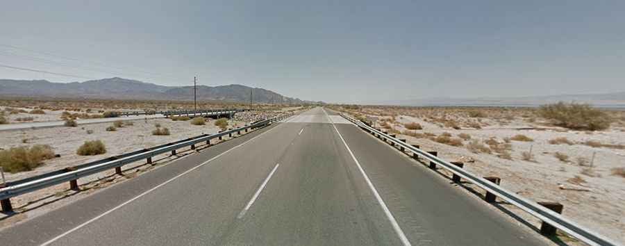
On the western side of the lake, the road is called California State Route 86 (CA-86 S). It’s 75.63km (47.0 miles) long, running north-south from Coachella, in Coachella Valley, to Elmore Desert Ranch. The road was built in 1964. It’s one of the lowest roads in the world.
On the eastern side, the road is called State Route 111 (SR 111).