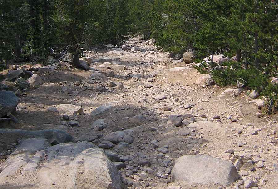
Adventure along the wild road to Cyclone Pass in Wyoming
Cyclone Pass is a high mountain pass at an elevation of 3,212m (10,538ft) above sea level, located in Fremont County, in the U.S. state of Wyoming. It's one of the highest roads in Wyoming.

Where is Cyclone Pass?
The pass is located in the central part of Wyoming, within the Shoshone National Forest.
Is Cyclone Pass unpaved?
The unpaved road to the pass is very challenging: very rough with some technical rocky sections. It’s called Shoshone Lake Road. A 4x4 vehicle with high clearance is required. The drive is steep, hitting 17% through some of the ramps.
How long is Cyclone Pass?
The road to the summit is 20.92km (13 miles) long, running east-west from Baldwin Creek Road to Shoshone Lake. Along the way, you'll be rewarded with some great views of Red Butte and Lander.
Is the road to Cyclone Pass open in winter?
Set high in the foothills of Wyoming’s southern Wind River Range, this road is not plowed in the winter. It’s only reachable seasonally, generally June 30 through mid-October.
Pics: http://landerbackcountry.blogspot.com.es/2007/08/shoshone-lake-loop-ride.html