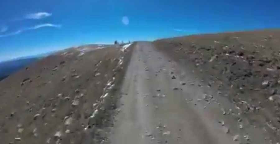
The Wild Road to Kennaday Peak in Wyoming
Kennaday Peak is a high mountain peak at an elevation of 3,300m (10,826ft) above sea level, located in Carbon County, in the US state of Wyoming. A high-clearance vehicle is recommended. It's one of the highest roads in Wyoming.

Where is Kennaday Peak?
The peak is located to the east of Saratoga, in the southern part of Wyoming, within the Medicine Bow-Routt National Forest. At the summit, there’s a fire lookout with incredible views of the surrounding area. The first fire lookout tower, constructed in the 1930s by the Civilian Conservation Corps, no longer stands. The current structure, a 15' x 15' R-6 flattop with a catwalk, was built in 1964 and rests on a 10-foot concrete block foundation. For the numerous visitors each year, a small interpretive area has been set up on the lower level. The summit offers a breathtaking 360-degree view of the surrounding mountains and Platte River Valley.
Is the road to Kennaday Peak unpaved?
The road to the summit is very steep and unpaved. It’s called Forest Road 215. This road is rough in spots, so a vehicle with high clearance is recommended. You won’t need 4-wheel drive unless you are trying to get here early in the spring or after a storm (which is not recommended).
How long is the road to Kennaday Peak?
The road to the summit is steep. Starting from NFSR 100 road, the ascent is 10.46km (6.5 miles) long. Over this distance, the elevation gain is 657 meters. The average gradient is 6.28%, hitting a maximum gradient of 11.3% through some of the ramps.
Is the road to Kennaday Peak open in winter?
Set high in the Snowy Range, the road is typically open from June/July through September/October. Taking the road during severe weather conditions is not suggested. Visitors should be prepared for high-altitude conditions. Summertime temperatures average 70 degrees but can drop as low as 30 degrees at night or during the frequent summer afternoon thunderstorms. High winds frequently occur.
Pic&video: Benjamin Goodwin