How to Get by Car to Kitt Peak in Arizona?
Kitt Peak is a high mountain peak at an elevation of 2,082m (6,830ft) above sea level, located in Pima County, in the U.S. state of Arizona.

Where Is Kitt Peak?
The peak is located in the south-central region of Arizona. This is an isolated climb about 40 miles southwest of Tucson.
What’s at the Summit of Kitt Peak?
At the summit is the Kitt Peak National Observatory, home to 24 optical and two radio telescopes, established in 1960. The 360-degree views from the top of this sacred Native American mountain are well worth the climb.
Is the Road to Kitt Peak Paved?
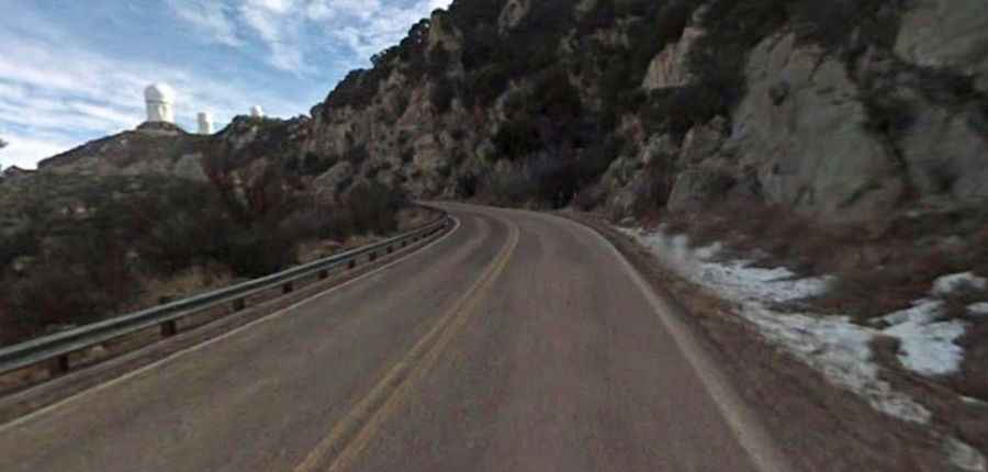
The road to the summit, the highest point in the Quinlan Mountains, is called AZ-386. It’s a fully paved and maintained road in very good condition throughout, with minimal traffic during the entire climb. Due to the high summit altitude, the road can be closed at any time due to snowfall.
How Long Is the Road to Kitt Peak?
The road to the summit is pretty steep. Starting from AZ-86, the ascent is 19.47 km (12.1 miles) long. Over this distance, the elevation gain is 1,098 meters. The average gradient is 5.63%, with some sections reaching up to 9-10%.
When Is the Best Time to Drive to Kitt Peak?
Due to its high elevation, the observatory experiences a much cooler and wetter climate throughout the year than most of the Sonoran Desert. Kitt Peak gets its share of summertime thunderstorms, usually from July to September. As with any high peak, lightning is a very real hazard. Go early in the day to increase your chances, as storms usually build in the afternoon. Just be observant and use common sense.