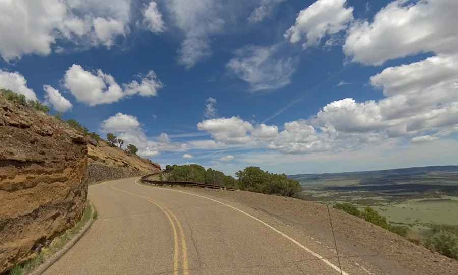
A two mile road to the top of Capulin Volcano in New Mexico
Capulin Volcano is an extinct cinder cone volcano at an elevation of 2,405m (7,890ft) above sea level, located in Union County, in the U.S. state of New Mexico. It’s one of the most accessible volcanoes in the world.

Where is Capulin Volcano?
The volcano is tucked away in the High Plains of northeastern New Mexico. Capulin Volcano, part of the 8,000 square mile Raton-Clayton Volcanic Field, last erupted more than 60,000 years ago.
How long is the road to Capulin Volcano?
The road to the summit is completely paved and is called Capulin Volcano Road. Starting at NM-325, the road is 4.18km (2.6 miles) long.
When was the road to Capulin Volcano built?
The road was constructed in 1925 by custodian Homer Farr.
Is the road to Capulin Volcano steep?
The road to the summit is very steep, with a maximum gradient of 9% through some of the ramps. Starting at NM-325 road, at 2,191m (7,188ft) above sea level, the drive is 4.18km (2.6 miles) long, ending at 2,405m (7,890ft) above sea level. Over this distance, the elevation gain is 214 meters. The average gradient is 5.11%.
Is Capulin Volcano Road open?
Always check vehicle restrictions and current road conditions before your visit. The road can be closed at any time due to inclement weather (thunderstorms) or road conditions. It’s closed to RVs, buses, attached trailers, or any other vehicles over 26 feet long. From Memorial Day to Labor Day, the road is open to vehicles from 8:00am to 5:00pm. From Labor Day to Memorial Day, the road is open from 8:30am to 4:00pm.
Is the road to Capulin Volcano challenging?
Located within the Capulin Volcano National Monument, it’s a short mountain road spiraling the volcano rim. Bicycles and pedestrians are only permitted when the road is closed to vehicles after park hours. The drive spirals gradually around the volcano, and visitors can drive up to a parking lot at the rim of the extinct volcano. Be careful, as there are sheer drop-offs and tight turns.