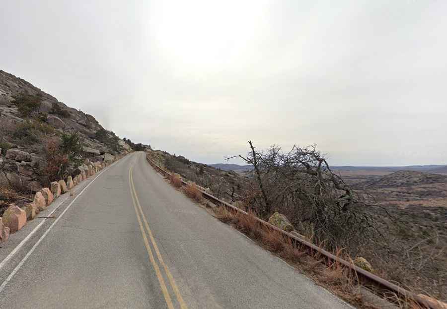
Driving to the top of Mount Scott in Oklahoma
Mount Scott is a mountain peak at an elevation of 751m (2,464ft) above sea level, located in Comanche County, in the U.S. state of Oklahoma.

Where is Mount Scott?
The peak is located on the eastern edge of the Wichita Mountains Wildlife Refuge, in the southwestern part of Oklahoma.
Is the road to Mount Scott paved?
The road to the summit is totally paved winding around the mountain. It’s called Mount Scott Road. It’s said to be the highest paved auto road in the state.
How long is the road to Mount Scott?
Starting from OK-49 road, the road to the summit is 4.50km (2.8 miles) long. It’s not recommended for beginners due to the steep grades, heavy crosswinds and sharp turns.
Is the road to Mount Scott open?
The road is open from sunrise to sunset, Monday through Friday. On Saturday and Sunday, you can drive/bike from noon to sunset. Dense fog or heavily snowy, icy conditions may cause this route to be closed.
Is the road to Mount Scott steep?
Starting at OK-49 road, the elevation gain is 312 meters. Over this distance the average gradient is 6.93%, with occasional short sections that exceed 12% in a few places. It is a tough climb on a bicycle. The ride down has the potential to be extremely treacherous.
Is the road to Mount Scott scenic?
Visitors can stop at any of several scenic pullouts located along the road. Parking is available at the top of the mountain. The drive offers breathtaking views of southwest Oklahoma, the surrounding Oklahoma plains, the Wichita Mountains, Slick Hills and Lake Lawtonka.