Driving the Wild Red Rock Pass on the Idaho-Montana Border
Red Rock Pass is a high mountain pass at an elevation of 2,180m (7,152ft) above sea level, located on the border of Idaho and Montana, in the USA.

Where is Red Rock Pass?
Located on the Continental Divide, the pass links Beaverhead County, Montana (west), and Fremont County, Idaho (east), in the western United States.
Is the Road Through Red Rock Pass Unpaved?
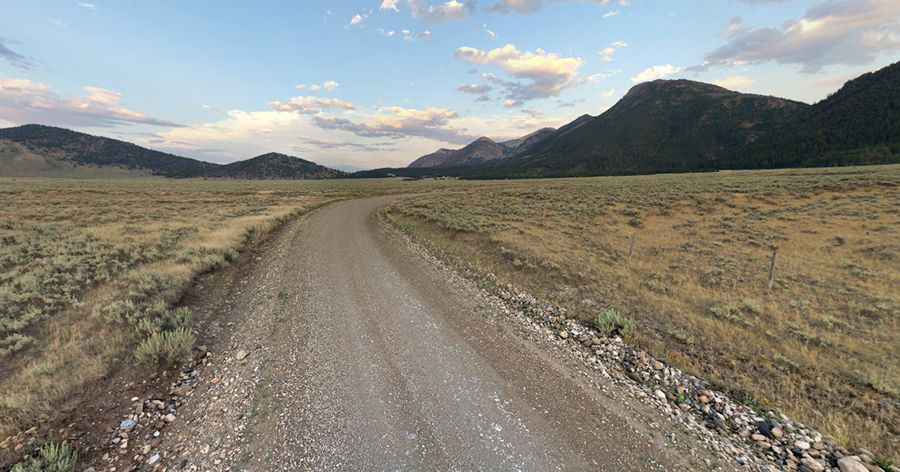
The road to the summit is an unimproved gravel road, called Red Rock Pass Road and South Valley Road. It is in good condition, and a 2WD vehicle should have no trouble completing the drive.
Is the Road Through Red Rock Pass Open in Winter?
Set high in the Centennial Mountains, which are part of the larger Rocky Mountain range, the road is not typically maintained in winter, and snow can make it impassable for much of the year. The pass experiences harsh winters with heavy snowfall and cool, short summers. Visitors should be prepared for sudden weather changes at higher elevations.
How Long is Red Rock Pass?
The pass road is 89.47km (55.6 miles) long, running west-east from Monida Pass (in Beaverhead County, Montana) on Interstate 15 to US-20 Highway, north of Island Park.
Is the Road Through Red Rock Pass Worth the Drive?
The drive offers stunning views as it winds through some of the most scenic countryside in the area.
Pic: Wes Craiglow