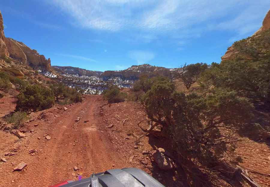
The Road to Fix It Pass in Utah is Not for the Faint of Heart
Fix It Pass is a high mountain pass at an elevation of 1,899m (6,230ft) above sea level, located in Emery County, in the U.S. state of Utah. The trail has recently become rougher than it was in the past.

How Long is the Road to Fix It Pass?
The pass is located in the east-central part of Utah, within the San Rafael Swell. Starting from the paved US-50, the road to the summit is 17.6 km (10.93 miles) long.
Is the Road to Fix It Pass Unpaved?
The road to the summit is entirely unpaved and takes you through several washes, which can be significantly altered after heavy rainstorms. It’s suited to high-clearance 4×4 vehicles with low-range capability and 33″ or larger tires.
How Challenging is the Road to Fix It Pass?
This route can be a daunting challenge and seems to worsen over time. It’s very remote, so preparation is essential. In case of a breakdown, there’s little passing traffic, few inhabitants, and no cell phone service in some sections. It’s highly recommended to tackle this road with a partner rather than alone. The weather can be snowy, icy, and unpredictable in winter.
Pic: Shannon Bushman