The Ultimate Guide to Traveling the South Willow Canyon Road in Utah
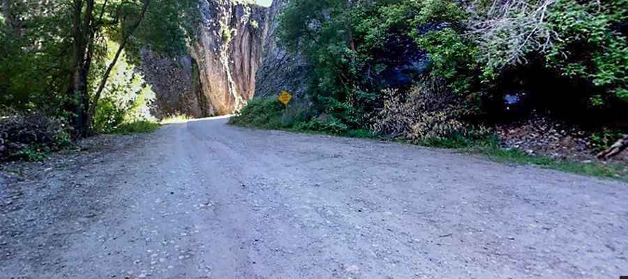
South Willow Canyon Road is a very scenic drive in Tooele County, in the US state of Utah. The road is mostly paved but becomes gravel at the National Forest boundary, and winds through some very interesting narrows.

Where is the South Willow Canyon Road?
The road is located in the western part of Utah, within the Uinta-Wasatch-Cache National Forest. It’s popular for its fantastic wildlife. Along the road there are five forest service campgrounds.
How long is the South Willow Canyon Road?
South Willow Canyon Road (Forest Road 171) is 11.42km (7.1 miles) long. It’s mostly paved (but the last 4 miles are unpaved). However, any vehicle should be able to make it. Although South Willow Canyon Road is paved, it is pitted with chuckholes and is not recommended for trailer use.
Is the South Willow Canyon Road open in winter?
The road ends at an elevation of 2,270 m (7,447 ft) above sea level, at the start of the Deseret Peak Trail. You can find a small parking area and bathrooms. Snow typically covers the upper part of the trail from November to mid-June.
How steep is the South Willow Canyon Road?
The road is fairly steep and narrow. Starting from the Mormon Trail, the elevation gain is 718 meters. The average gradient is 6.28%.
Pic: Mike