Ultimate 4WD Destination: Mosca Pass in Colorado
Mosca Pass is a high mountain peak at an elevation of 3,007 m (9,865 ft) above sea level, located in the U.S. state of Colorado.

Where is Mosca Pass?
The peak is located about 40 miles west of Walsenburg, on the boundary between Huerfano and Alamosa counties, in the south-central part of Colorado, on the eastern border of the Great Sand Dunes National Park and Preserve.
Why is it called Mosca Pass?
Mosca Pass is named after Luis de Moscoso Alvarado, whose scouting expeditions may have ventured into this region around the year 1542.
What’s at the summit of Mosca Pass?
Tucked away on the boundary between the Great Sand Dunes National Preserve (to the west) and San Isabel National Forest (to the east), the summit hosts a large rooftop antenna structure for communications.
How long is the road to Mosca Pass?
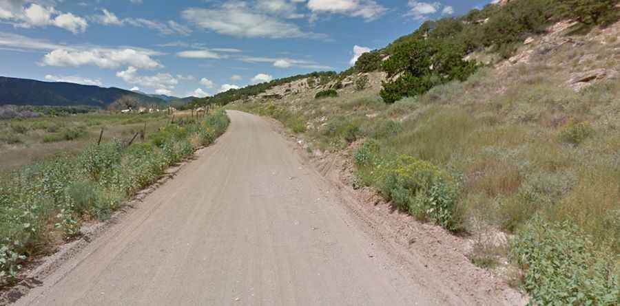
The road to the summit is totally unpaved and is called County Road 583. A high-clearance vehicle is required. Starting from Gardner (in Huerfano County), the road to the summit is 30.09 km (18.7 miles) long. Over this distance, the elevation gain is 870 meters.
Is the road to Mosca Pass open in winter?
Set high on the west side of the Sangre De Cristo Mountain Range, within San Luis Valley, the road is usually impassable during the winter months. Be prepared for anything, even snow in the summer months. Rapid weather changes occur year-round without warning.