An Explorer's Guide to Boriana Mine in Arizona
Boriana Mine is an abandoned tungsten mine at an elevation of 1,711m (5,613ft) above sea level located in Mohave County, in the US state of Arizona. High clearance and four-wheel drive vehicles only.

Where is Boriana Mine?
The mine is located to the east of Yucca, in the northwestern corner of Arizona.
What was Boriana Mine?
Nestled high among the peaks of the Hualapai Mountains lies the historic Boriana Mine, now a relic of Arizona's mining past. Operating from 1915 to 1980, the mine extracted primarily tungsten, along with smaller yields of copper and beryllium. Its heyday spanned from 1915 to 1918, a period marked by significant tungsten production, crucial for supporting efforts during World War I. Renowned as Arizona's largest tungsten mine, Boriana ceased operations in 1957 following a devastating fire. Over its years of activity, the mine yielded tungsten as its primary output, followed by copper and gold. As with any abandoned mining site, exercise caution and remain vigilant of your surroundings.
Can you drive to Boriana Mine in AZ?
The road to the mine is totally unpaved. It’s called Boriana Mine Road. Starting at Alamo Road in Yucca, the road is 24.46km (15.2 miles) long.
Is the road to Boriana Mine in AZ challenging?
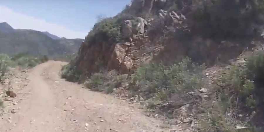
The drive is pretty hairy in parts. It starts gravel and in good conditions but soon deteriorates to a narrow shelf road that requires 4wd in several spots. The road is narrow and rocky in places with switchbacks that may intimidate novice drivers. High clearance and four-wheel drive required. Due to the monsoonal and heavy rains experienced sometimes in Arizona, large rocks and washouts can sometimes occur.
When is the best time to drive to Boriana Mine in AZ?
It’s not recommended to complete this long and arduous trail when snow or ice is present on the road. Be careful: low desert runs can be extremely hot during the summer. Snow in winter is common.
Is the road to Boriana Mine in Arizona steep?
The road to the mine is very steep, hitting a 17% maximum gradient through some of the ramps. Starting at Alamo Road, the elevation gain is 1,107 meters. The average gradient is 4.52%.
Pic: Chloride RzR XP4 1000