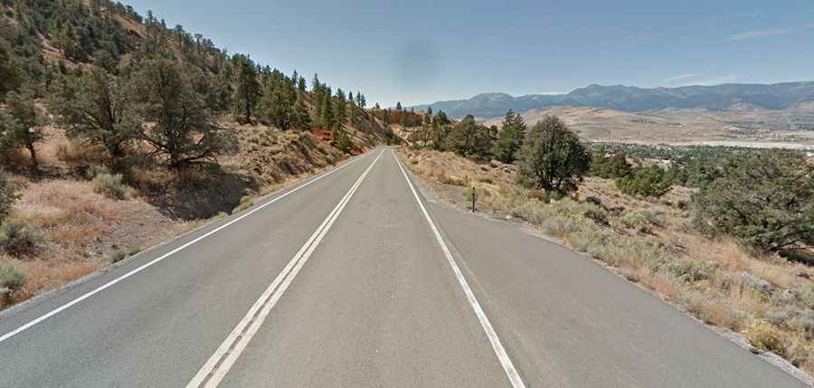
The road to Geiger Summit in is a drive worth taking in Nevada
Geiger Summit is a high mountain pass at an elevation of 2.076m (6,811ft) above sea level located in Washoe County, in the US state of Nevada. The pass was named after Davison M. Geiger, a local physician who financed its construction.

Why is it called Geiger Summit?
The pass is named after Dr. Davison M. Geiger, a physician who was instrumental in the construction of the original road in the 1860s. The road was built to facilitate travel between Virginia City, a booming mining town during the Comstock Lode silver rush, and the Truckee Meadows (now Reno).
How long is Geiger Summit?
Set high in the Sierra Nevada mountains, the road to the summit is called Geiger Grade Road (Nevada State Route 341). It’s totally paved since 1936 and pretty twisty. The road is 21.24km (13.2 miles), running from US-395, south of Reno, to Virginia City.
Is Geiger Summit worth the drive?
Geiger Summit is a popular route for tourists traveling between Reno and Virginia City. The drive provides picturesque vistas and an insight into the region's rich mining history. Several pullouts along the road allow drivers to stop, enjoy the views, and take photographs. The road winds its way through a rocky landscape dotted with junipers along the Geiger Lookout Wayside Park.