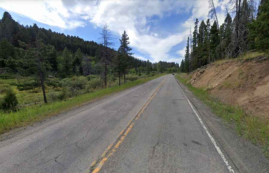
Driving the scenic Montana 2 along the Rocky Mountains
Running from the historic city of Butte to Three Forks, Montana 2 is an adrenaline-pumping adventure that promises a thrilling ride through the state.

Where does Montana 2 start and end?
Set high along the Rocky Mountains' eastern foothills of Montana, the road, also known as Old US Highway 10, runs from Butte (a city and the county seat of Silver Bow County) to Three Forks (a city in Gallatin County).
What is Montana 2 like?
Montana 2 is no ordinary road; it's a maze of twists, turns, and sheer inclines. Nature adds its own challenges with capricious weather patterns that can make the journey perilous. The road becomes especially treacherous in winter, with black ice, blinding blizzards, and gusty winds. This roller-coaster of a highway climbs up to Pipestone Pass, where you'll stand a staggering 1.971m (6,469ft) above the sea level, right in the heart of Silver Bow County.
How long is Montana 2?
Tucked away in the southern Montana wilderness, within the Pioneer Mountains, Montana 2 stretches 63 miles (101 km) through the Beaverhead-Deerlodge National Forest. Fear not the rough terrain, for the entire journey is paved, ensuring a smooth encounter with Montana's wild beauty.