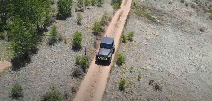
Ultimate 4wd destination: Breakneck Pass in Colorado
Breakneck Pass is a high mountain pass at an elevation of 3,335m (10,941ft) above sea level, located in Park County, in the U.S. state of Colorado. High clearance 4x4 is required to drive to the summit.

Where is Breakneck Pass?
The pass is located south of Denver, in the central part of Colorado, within the Pike National Forest.
Why is it called Breakneck Pass?
The pass was named by the early settlers for the difficulty of crossing the pass due to its one steep section. North of the pass, a challenging mountain rough road climbs up to Sheep Ridge.
Is the road to Breakneck Pass unpaved?
The road to the summit is totally unpaved. It’s called Breakneck Pass Road (FR 175 and Forest Service Road 426). Some areas under the rocks are fairly dug out, and many rocks are unavoidable. This climb can be extremely difficult if wet or snowy. This hill climb can be rough for some vehicles, with rocks jutting into the trail. An average stock SUV will have a hard time here, but more aggressive stock models can do it.
How long is the road to Breakneck Pass?
The road to the summit is a loop road starting and ending on County Road 5, south of Fairplay. It’s 12.07km (7.5 miles) long. Approaching from the southeast via Weston Pass Road is easier than from the north via Browns Pass.
Pic&video: Charles White