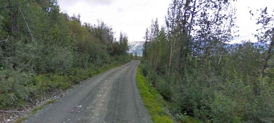
McCarthy Road is a drive you'll never forget in Alaska
McCarthy Road is an epic road trip in a very Alaskan sort of way, located deep in the heart of Valdez-Cordova Census Area, in the USA. Rough road conditions and potholes are common.

When was McCarthy Road built?
Today's road originated in 1909 as a mining railway. When large scale mining ended in 1938, most of the rails were salvaged for scrap iron. In 1971 the rail bed was covered with gravel, creating today's surface of the road.
How long is McCarthy Road?
Located within the Wrangell-St. Elias National Park and Preserve, the road is 59 miles (95 km) long, running west-east from Chitina, at the end of Edgerton Highway, to McCarthy. It follows the path of the historic Copper River and Northwestern Railroad.
Is the McCarthy Road paved?
The road is totally unpaved. It’s a relatively easy drive. Conditions have steadily improved over the years and it is now a two lane width instead of 1 lane for almost the entire length. Although regularly maintained by the State of Alaska, you must expect a few hazards: heavy rain can make the road muddy and slippery; sharp rocks can cause flat tires; narrow and one-lane bridges make maneuvering large vehicles difficult. In places, remnants of railroad ties may surface along with the occasional spike, creating unexpected hazards. This road can be intimidating to most as you hear many stories of it being a tough road to drive but under normal summer conditions most passenger vehicles can make the trip. Just be sure to carry at least one spare tire and an adequate jack.
Is the McCarthy Road open?
The road is not maintained during winter. It usually opens in mid-May through mid-September. The speed limit is 35mph. Not recommended for large RVs. The road is wide enough for two lanes in most places and the State has brushed most of the road to increase visibility. However, the road is still narrow in some places, so you should to watch out for other traffic.
How long does it take to drive the McCarthy Road?
Plan 2 – 2 ½ hours to complete the narrow and winding drive. It is the gateway to spectacular scenery, vast wilderness, and adventure. During the summer months the road is passable for most vehicles, however during the periods of rainy weather, the road can become a bit more challenging. The drive provides access to interesting geology, great hiking, fishing, and camping, as well as the wonderful historic communities of McCarthy and Kennecott.
Is the McCarthy Road remote?
The area is pretty remote with no services. Driving this road is an Alaskan adventure. Cell phone coverage is very limited. No fuel is available in Chitina. The road is recommended for those who like adventurous driving as you'll be driving through some of the most untouched wilderness in the country.
The challenging Kuskulana River Bridge
One of the most challenging sections of the drive is crossing the Kuskulana River Bridge. At 238 feet above the bottom of a gorge, it is said to be the biggest thrill on the road to McCarthy. Built in 1910, this historic bridge is a 775 ft long steel deck truss, built as a railroad bridge.