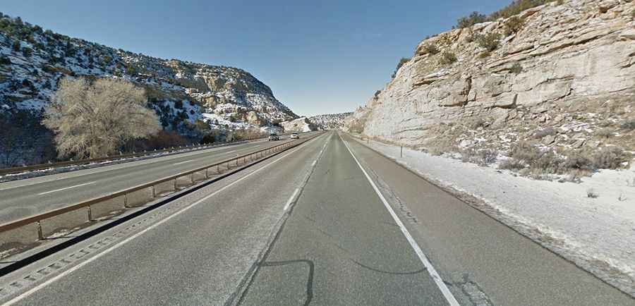
Interstate 70 is a remote scenic drive in Utah
Interstate 70 (I-70) is the name of a scenic yet perilous road located in the central part of the U.S. state of Utah.

How long is Interstate 70 in Utah?
Part of the Interstate Highway System, the road is entirely paved. It is 372 km (231 miles) long, running east-west from I-15 (Veterans Memorial Highway) in Millard County near historic Cove Fort to the border with Colorado.
Is Interstate 70 in Utah worth it?
Running across the central part of the state, the drive is very scenic, passing through fascinating landscapes and winding through the spacious Spotted Wolf Canyon for truly mesmerizing views. The route reveals vast deserts, deep canyons, sheer cliffs, and unique rock formations.
Is Interstate 70 in Utah open?
The road tops out at 2,404m (7,886 feet) above sea level by Emigrant Pass. Snowfalls are common. However, the road is typically open all year round, with occasional closures in winter due to dangerous weather conditions.
Is Interstate 70 in Utah remote?
To drive the road without stopping will take most people between 3 and 4 hours. It is said to be one of the most desolate stretches of highway in the Interstate system. For more than 100 miles, from Green River to Salina, you won't find a single gas pump, soda machine, or toilet. One hundred and six consecutive miles of no towns or exits. Once you start, there is no legal way to turn around. I-70 in Utah is one of the few roadways that doesn’t actually pass through any major cities. In the entire American interstate highway system, there is no longer stretch of blacktop without services than the one between Green River on the east and Salina on the west right here in Utah. This highway presents imminent danger to those unfamiliar with driving on desolate roadway systems.