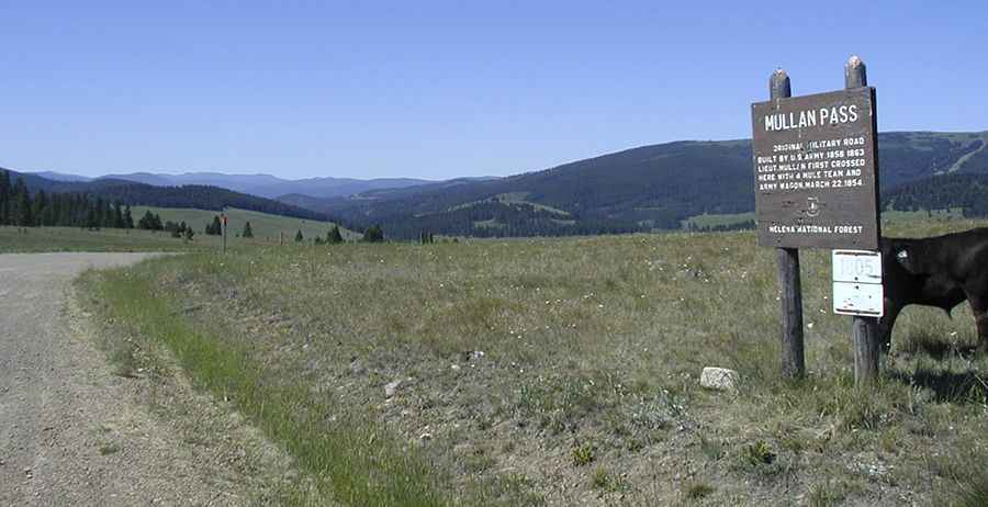
A gravel road to the historic Mullan Pass in Montana
Mullan Pass is a high mountain pass at an elevation of 1,799 m (5,902 ft) above sea level, located on the boundary between Powell and Lewis and Clark counties in the US state of Montana.

Where is Mullan Pass?
The pass is located across the Continental Divide, west of Helena, the state capital, in the western part of Montana, within or near the Helena National Forest.
Why is it called Mullan Pass?
The pass was named after U.S. Army Captain John Mullan, who led the construction of the Mullan Road.
How long is the road through Mullan Pass?
Completed in the 1860s, the road to the summit is called Austin-Mullan Pass Road. The pass is 28 km (17.4 miles) long, running from the paved US-12 to Birdseye.
Is the road through Mullan Pass unpaved?
The road is mostly unpaved except for the Birdseye Road segment on the Helena side. The road offers plenty of room for two-way traffic but typically suffers from bad washboards and occasional ruts. One day the road can be smooth and easy to drive, the next, it can be full of washboards that may bounce you right over the edge if you aren't careful. Road conditions are always changing. With proper driving, almost any vehicle can handle this road. Nevertheless, always be aware of conditions, your vehicle's capabilities, and your driving experience before driving this road.
Is the road through Mullan Pass open in winter?
Set high in the Rocky Mountains of Montana, the area receives significant snowfall in winter, making it a challenging route during colder months.
Pic: By Kjmoss1 at English Wikipedia, CC BY-SA 3.0, https://commons.wikimedia.org/w/index.php?curid=40648000