A sensational drive to Yellowjacket Pass in Colorado
Yellowjacket Pass is a high mountain pass at an elevation of 2.373m (7,785ft) above sea level, located in Archuleta County, in the US state of Colorado.
Where is Yellowjacket Pass?
The pass is located in the southwestern part of Colorado, within the San Juan National Forest. A minor gravel road west of the pass climbs up to a relay station at 2.564m (8,412ft) above the sea level.
Is Yellowjacket Pass paved?
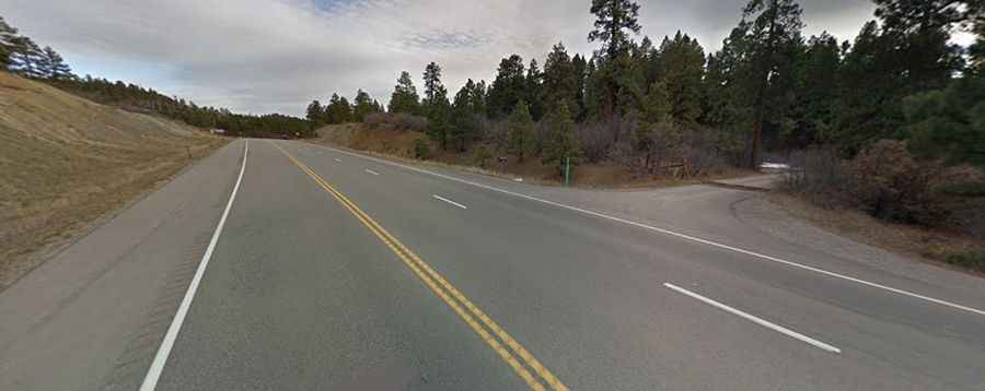
The road to the summit is totally paved. It’s called U.S. Route 160. The road can be accessed year-round but may be closed for short periods in winter with bad weather.
How long is Yellowjacket Pass?
The pass is 65.01km (40.4 miles) long, running west-east from the Town of Bayfield (in La Plata County) to Pagosa Springs, the county seat of Archuleta County.