Adventure along the wild road to Apache Pass in Arizona
Apache Pass is a high mountain pass at an elevation of 1.563m (5,127ft) above sea level, located in Cochise County, in the U.S. state of Arizona.

Where is Apache Pass?
The pass, also known as Puerto del Dado, is located in the southeastern corner of Arizona, near the New Mexico and Mexican border, within the Fort Bowie National Historic Site.
Why is Apache Pass famous?
The pass was an important travel route for the Apache people, especially the Chiricahua Apache. In the mid-19th century, the U.S. military recognized its strategic importance and established Fort Bowie near Apache Pass in 1862 to protect the route used by settlers, mail carriers, and the military. Apache Pass was a key location during the Apache Wars, a series of conflicts between the U.S. Army and various Apache tribes. The Battle of Apache Pass in 1862 was one of the major confrontations during these wars.
Is Apache Pass unpaved?
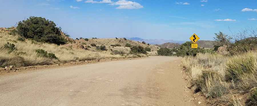
Located between the Dos Cabezas Mountains to the north and the Chiricahua Mountains to the south, the road through the pass is mostly unpaved, with a short paved section on the Bowie side. It’s called Apache Pass Road. A high-clearance vehicle is recommended.
How long is Apache Pass?
The pass is 32.83km (20.4 miles) long, running north-south from I-10 road (near Bowie) to AZ-186 road. The terrain is all desert, so bring lots of water.
Pic: Randall Williams