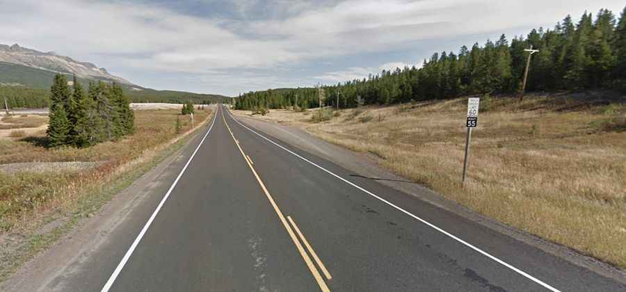
A Paved Road to Marias Pass in Glacier National Park
Marias Pass is a high mountain pass at an elevation of 1,602 meters (5,255 feet) above sea level, located in the US state of Montana. It is one of the lowest and most accessible passes over the Continental Divide in the United States, making it an important transportation corridor.

Where is Marias Pass?
The pass is located on the boundary between Glacier and Flathead counties, in the northwestern part of Montana, at the southern tip of Glacier National Park. A memorial to President Theodore Roosevelt, known as the Marias Pass Obelisk, was constructed at the top of the pass in 1930.
Why is it called Marias Pass?
The pass is named after the nearby Marias River, which in turn was named by Meriwether Lewis of the Lewis and Clark Expedition in honor of his cousin Maria Wood.
How long is Marias Pass?
The road through the summit is fully paved. It’s called U.S. Highway 2. The pass is 46.51 kilometers (28.9 miles) long, running from Pinnacle to Bison.
Is Marias Pass open in winter?
Set high on the Continental Divide within the Lewis Range, which is part of the Rocky Mountains, the road through the pass is usually open year-round. The pass experiences a typical mountain climate with cold winters, heavy snowfall, and cool, short summers. It is subject to extreme weather conditions, especially during the winter months.