A Scenic Paved Road to Ute Pass in Teller County
Ute Pass is a high mountain pass at an elevation of 2,805 m (9,202 ft) above sea level, located in Teller County, in the U.S. state of Colorado.

Where is Ute Pass?
The pass is located west of Colorado Springs, in the central part of Colorado, within the Arapaho National Forest.
When Was the Road Through Ute Pass Built?
Ute Trail, located along the north side of Pikes Peak, is believed to have originally been a buffalo trail used to migrate the animals from the eastern plains to the meadows of South Park, Colorado, in the summer. Early travelers like Joel Palmer and Stephen Harriman Long noted its significance, with Long describing it as a route used by bison and Native Americans. The Utes used the trail for trade, transporting salt from Bayou Salade to Santa Fe and Taos. In the 1860s, the trail became a wagon road, later supporting the Colorado Midland Railway for transporting goods to mining camps like Leadville. The railway tracks were removed after the mining industry's decline. In 1932, a new road was constructed to accommodate modern vehicles.
Is the Road to Ute Pass Paved?
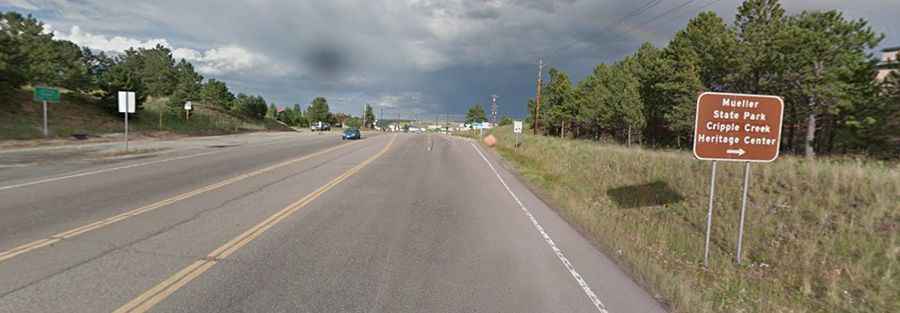
The road to the summit is completely paved. It’s called U.S. Highway 24 and is easily accessible by all passenger vehicles. In general, the road is open year-round. It’s an easy drive, but on the east side, the road has steep sections, with a 7% gradient on some ramps.
How Long is the Road to Ute Pass?
The pass is 23.97 km (14.9 miles) long, running west-east from Florissant to the city of Woodland Park.