The road to Fredonyer Pass in California is well worth the time
Fredonyer Pass is a high mountain pass at an elevation of 1.762m (5,780ft) above sea level, located in Lassen County, in the US state of California.
Why is it called Fredonyer Pass?
The pass is named after Dr. Atlas Fredonyer, who discovered the pass in 1850.
Is Fredonyer Pass paved?
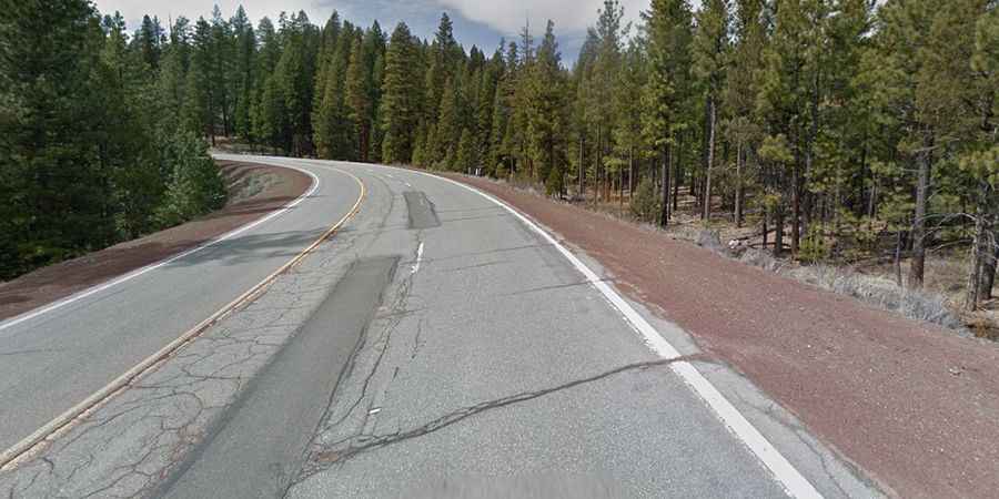
The road to the summit is fully paved. It’s called State Route 36 (Volcanic Legacy Scenic Byway). In the early 1900s, the pass was known as Fredonia Pass.
How long is Fredonyer Pass?
The pass is 25.58km (15.9 miles) long, running west-east from Coppervale to Susanville, the county seat of Lassen County. The road is steep, hitting a 6% through some of the ramps.
Is Fredonyer Pass open in winter?
Set high in the northeastern part of California, the road can be accessed year round but may be closed for short periods in winter due to snowfalls.