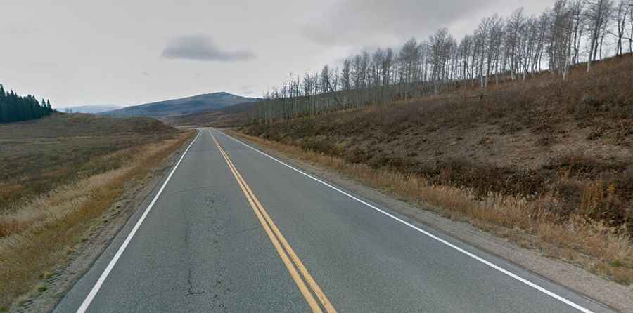
A paved road to Muddy Pass in the Rocky Mountains of Colorado
Muddy Pass is a high mountain pass at an elevation of 2,657 m (8,717 ft) above sea level, located in the US state of Colorado.
Where is Muddy Pass?
The pass is located on the boundary between Jackson and Grand counties, in the northern part of Colorado.
Why is it called Muddy Pass?
The pass is named after the nearby Muddy Creek. At Muddy Pass, visitors can continue 3 miles west along US-40 to Rabbit Ears Pass, which is about 500 feet higher in elevation.
Is Muddy Pass paved?
The road to the summit is totally paved. It’s called U.S. Route 40. It has a mild approach on both sides, with no switchbacks or tight spots.
How long is Muddy Pass?
The pass road is 83.36 km (51.8 miles) long, running north-south from Steamboat Springs, in northern Colorado’s Yampa Valley, to the Town of Kremmling, in Grand County.
Is Muddy Pass open in winter?
Set high in the Rocky Mountains, the pass is open year-round but subject to regular short closures due to hazardous driving or weather conditions.