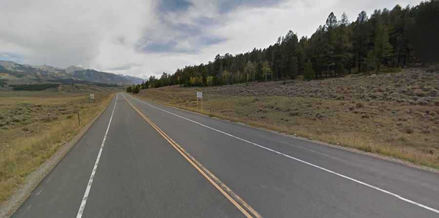
Driving the paved mountain road to Poncha Pass in Colorado
Poncha Pass is a high mountain pass at an elevation of 2,751 m (9,025 ft) above sea level, located in the US state of Colorado.

Where is Poncha Pass in Colorado?
The pass is located on the boundary between Saguache and Chaffee counties, in the south-central part of Colorado. It links the San Luis Valley (south) and the valley of the Arkansas River (north), and splits the Rio Grande River and Arkansas River watersheds.
Is Poncha Pass paved?
The road to the summit is totally paved. It’s called U.S. Highway 285. The grades leading to the pass are very moderate (around 5% at the most from the south).
How long is Poncha Pass?
The pass is 34.76 km (21.6 miles) long, running south-north from Villa Grove (in Saguache County) to Poncha Springs (in Chaffee County).
Is Poncha Pass in Colorado open?
Set high where the Sangre de Cristo Mountains (to the east) and the San Juan Mountains (to the west) meet, it is one of the lowest mountain passes in the state. Access to the pass is typically open all year round, but winter weather may cause restrictions and closures due to dangerous weather conditions. Please be vigilant while traveling in the area for falling rocks and other debris. The road is sometimes closed due to mudslides.