A Memorable Road Trip to Black Sage Pass in Colorado
Black Sage Pass is a high mountain pass at an elevation of 2,976m (9,763ft) above sea level, located in Gunnison County, in the U.S. state of Colorado.
Where is Black Sage Pass?
The pass is located north of Sargents, in the central part of Colorado, within the Gunnison National Forest. It links Whitepine and Waunita Hot Springs. There are several great campsites in the area, making it a perfect spot for a weekend of exploring.
Why is it Called Black Sage Pass?
The pass is named after the nearby Black Sage Peak.
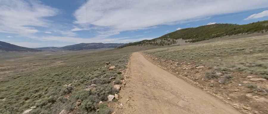
Is Black Sage Pass Unpaved?
The road to the summit is completely unpaved. It’s known as County Road 887. The east side is graded, but it becomes a two-track trail on the west side as it crosses Waunita Park. Under dry conditions, passenger vehicles can navigate the road. Keep an eye out for moose in the steep gullies along the way.
How Long is Black Sage Pass?
The pass road is 10.78 km (6.7 miles) long, running west-east from County Road 774A to County Road 888.
Pic: Eric Yackel