Dare to drive to Rogers Peak in California
Rogers Peak is a high mountain peak at an elevation of 3.049m (10,003ft) above sea level, located in Inyo County, in the US state of California. 4WD might be necessary beyond Thorndike Campground due to steep sections and ruts. No RVs or trailers. Expect snow and ice during winter and spring. It's one of the highest roads in California.
Where is Rogers Peak?
The peak is located in the eastern part of California, within the Death Valley National Park.
How long is the road to Rogers Peak?
Tucked away in the Panamint Mountains, the road to the summit is 17.21km (10.7 miles) long, starting from Emigrant Canyon Road.
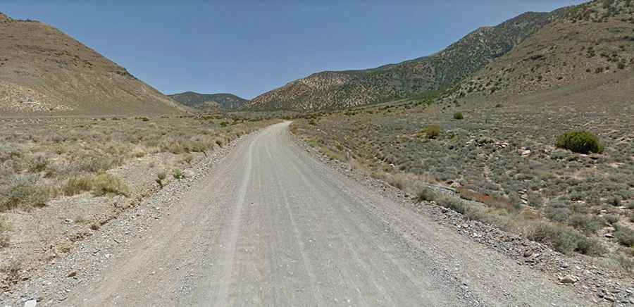
Is the road to Rogers Peak unpaved?
The road is mostly unpaved (only the first 6.11km-3.8 miles is paved). Before the peak, the road reaches the Charcoal Kilns, conical constructions that converted lumber to charcoal from 1879 to 1882. Due to frequent flooding in the area, road conditions often vary throughout the park. The summit hosts a communication tower.
How challenging is the road to Rogers Peak?
It’s one of the challenging backcountry roads in the Death Valley National Park. The road is rough and runs straight up the bottom of a drainage. It’s a steep, rough, and narrow gravel road. It requires a 4WD if it is wet or washed out. It’s closed during winter. The last 2.75 miles of the road are extremely rough and very steep (12% gradient), leading to the communications equipment at the top of the mountain. For the most up-to-date information on road conditions, visit Death Valley’s website at nps.gov/deva. Before reaching the main peak, the road climbs up to Mahogany Flat Parking, at 8,135ft (2.479 m) above sea level.