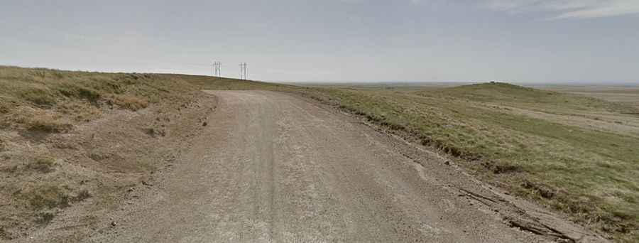
Travelling the historic Robidoux Pass
Robidoux Pass is a mountain pass at an elevation of 1.403m (4,603ft) above sea level, located in Scotts Bluff County, on the western border of the U.S. state of Nebraska.

Is the road to Robidoux Pass paved?
Located south of the North Platte Valley, within the Scotts Bluff National Monument, the road to the summit (also known as Roubadeau Pass) is totally unpaved. It’s called Robidoux Road.
How long is the road to Robidoux Pass?
The pass road is 30.57km (19.0 miles) long, running east-west from NE-92 road to Summit Ranch Road. It’s navigable by all passenger vehicles. The pass was named for members of the Robideau family. It’s one of two historic passes travelers used to traverse the Wildcat Hills range. This pass carried thousands of emigrants traveling the Oregon-California Trail between 1843 and 1851.