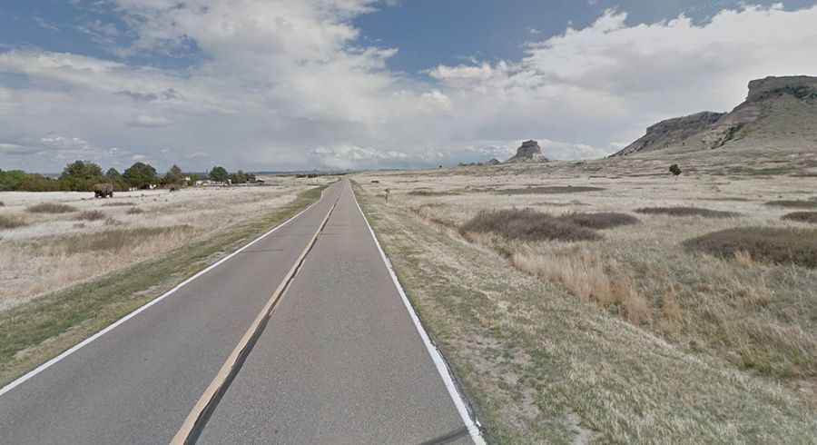
A paved road to the summit of Mitchell Pass in Nebraska
Mitchell Pass is a mountain pass at an elevation of 1,277m (4,189ft) above sea level, located in Scotts Bluff County, in the U.S. state of Nebraska.

Where is Mitchell Pass?
The pass is located between Scotts Bluff and South Bluff, on the western border of Nebraska, near the Wyoming border, within the Scotts Bluff National Monument. The pass is the starting point for the iconic Scotts Bluff Summit Road.
Why is it called Mitchell Pass?
The pass was named after the nearby Fort Mitchell in 1864, which was named after United States Brigadier General Robert B. Mitchell.
Is Mitchell Pass paved?
The scenic road to the summit is totally paved. It’s called the Old Oregon Trail (Nebraska Highway 92). The road to the summit was built in 1851, replacing Robidoux Pass as the preferred route through the hills on the Emigrant Trail.
How long is Mitchell Pass?
The pass road is 11.58km (7.2 miles) long, running north-southeast from NE-92 to Gering (the county seat of Scotts Bluff County, in the Panhandle region).