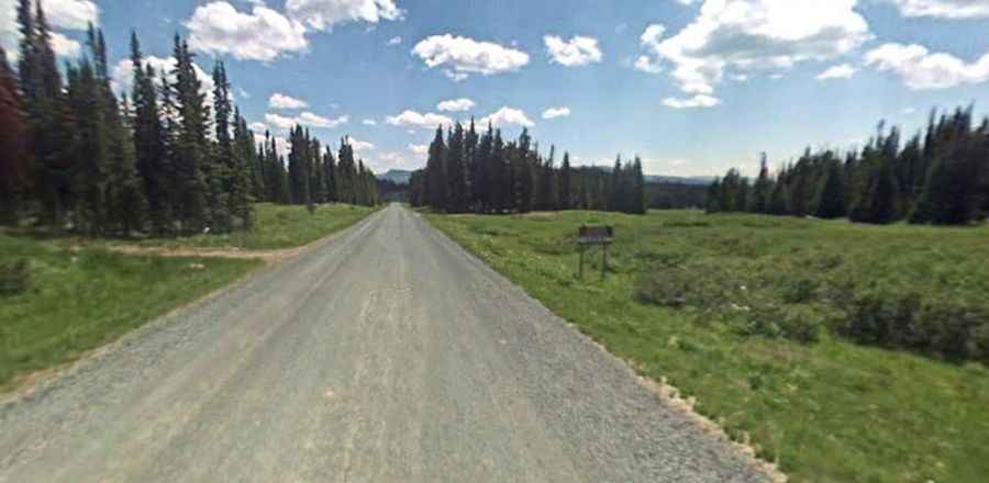
A road with lakes, mountains and meadows to Ripple Creek Pass in Colorado
Ripple Creek Pass is a high mountain pass at an elevation of 3,158 meters (10,360 feet) above sea level, located in Rio Blanco County, in the U.S. state of Colorado.

Is the Road to Ripple Creek Pass in Colorado Paved?
Located within the White River National Forest, the road to the summit is called County Road 8 (formerly SH 132). It is also known as the Flat Tops Trail Scenic Byway. The road is mostly unpaved. Both ends are paved for several miles, and the middle part is a well-maintained gravel road. The drive features steep sections.
How Long is the Road to Ripple Creek Pass in Colorado?
The pass is 97.36 kilometers (60.5 miles) long, running west to east from Buford (in Rio Blanco County) to Yampa (in Routt County). You may not have cell service at many points on the road. The drive is very scenic, with lakes, mountains, and meadows all around.
Is the Road to Ripple Creek Pass in Colorado Open in Winter?
Tucked away in the northwestern part of Colorado, the road is not open in winter (it is usually plowed around Memorial Day and stays open until around Thanksgiving). Be prepared for afternoon thunderstorms when it is open.