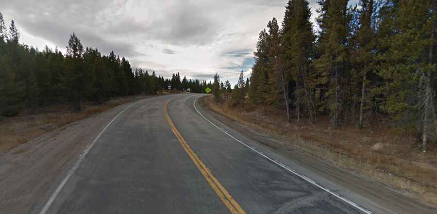
A 5-star road to Tennessee Pass in Colorado
Tennessee Pass is a high mountain pass with an elevation of 3,183m (10,442ft) located in the U.S. state of Colorado.

Where is Tennessee Pass in Colorado?
The pass is situated on the boundary between Lake and Eagle counties in central Colorado, within the Pike and San Isabel National Forests. At the summit, there is a large parking lot and a memorial dedicated to Colorado’s 10th Mountain Division.
How long is the road to Tennessee Pass?
The road to the summit is fully paved and is known as U.S. Route 24 (US 24), the Top of the Rockies National Scenic Byway. The pass spans 37.81km (23.5 miles), running south to north from Leadville (the county seat of Lake County) to Gilman (an abandoned mining town in southeastern Eagle County). It is easily navigable by most vehicles.
Is Tennessee Pass open year-round?
Located high in the Rocky Mountains, the road is accessible year-round but may be closed briefly during severe winter storms.
Is Tennessee Pass steep?
The scenic drive has a gentle approach on both sides, without any overly steep grades or sharp turns.