A memorable road trip to Spring Creek Pass in Colorado
Spring Creek Pass is a high mountain pass at an elevation of 3,323 meters (10,901 feet) above sea level, located in Hinsdale County, in the U.S. state of Colorado.
Where is Spring Creek Pass?
The pass is located south of Slumgullion Pass, in the southwestern part of Colorado, within the Gunnison National Forest.
Why is it called Spring Creek Pass?
The pass is named after the nearby Spring Creek.
Is the road through Spring Creek Pass paved?
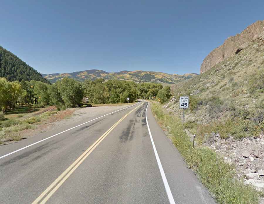
The road to the summit is fully paved. It’s called Colorado State Highway 149, also known as the Silver Thread Scenic Byway. It's one of the highest paved roads in Colorado.
How steep is Spring Creek Pass?
It’s one of the steepest paved mountain passes in Colorado. The route features a few switchbacks and tight spots, but overall, most travelers will find it an easy, scenic drive. The climb is quite steep, reaching a maximum gradient of 7.5% in some sections.
How long is Spring Creek Pass?
The pass stretches 80 kilometers (50 miles), running from the town of Lake City (in Hinsdale County) to the historic city of Creede (in Mineral County).
Is Spring Creek Pass open in winter?
Set high in the San Juan Mountains, this narrow, two-lane road is maintained year-round, as snowplows regularly clear the route during winter. However, travelers should remain cautious, as poor conditions can arise during the season.