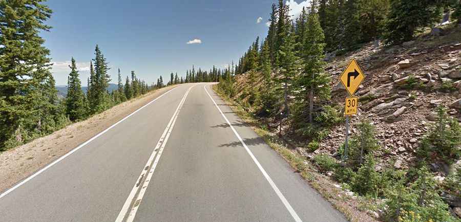
Juniper Pass in Colorado is an absolute must for road lovers
Juniper Pass is a high mountain pass at an elevation of 3.368m (11,049ft) above sea level, located in Clear Creek County, in the U.S. state of Colorado.

When was the road to Juniper Pass in Colorado built
Located in the central part of Colorado, to the west of Denver, the road through the pass was completed in 1921.
Is the road to Juniper Pass in Colorado paved?
Tucked away in the Arapaho National Forest, the road to the summit is fully paved. It’s called Colorado State Highway 103, also known as Squaw Pass Road.
Is the road to Juniper Pass in Colorado challenging?
The harrowing highway has steep drop-offs on both sides. It’s quite steep, reaching a maximum 10% gradient on some of the ramps. The drive is very scenic. Although it's open to traffic throughout the year, the road might be closed for short periods in winter when the weather is bad.
How long is Juniper Pass in Colorado?
The pass is 28.48km (17.7 miles) long, running from Mount Evans Road on Echo Lake in the west to CO-74, Evergreen Parkway, in Bergen Park in the east.