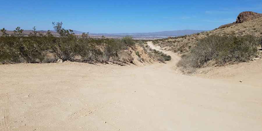
Grapevine Hills Road is a bumpy drive in Big Bend NP
Grapevine Hills Road is an improved dirt road located in Brewster County, in the U.S. state of Texas. Some areas can be very rough, and you’ll need to be cautious.

Where is Grapevine Hills Road?
The road, also known as Grapevine Spring, is located in the southwestern part of Texas, near the Mexico border, within Big Bend National Park. This bumpy dirt road allows access to the Grapevine Hills trailhead, which leads to the picturesque Balanced Rock and several campgrounds.
Is the Grapevine Hills Road paved?
It’s a fairly well-maintained road through the Chihuahuan Desert. Most of the road is passable to passenger cars if slowed down and driven carefully to navigate the bumps and small drops, except after rain, when it may require high clearance or 4-wheel drive past Grapevine Hills 1 (GH-1) Campground. Beyond the Grapevine Hills trailhead (mile 6.4), the road becomes very rough and rocky, requiring high-clearance vehicles, especially after rainfall. The road is very rough and requires a sturdy High Clearance Vehicle. Do not attempt to reach this trail with a passenger car, minivan or RV.
How long is Grapevine Hills Road?
Starting from the paved Gano Springs Road, the road is 12.23 km (7.6 miles) long and features many steep sections. Some areas can be very rough, so you’ll need to be cautious while navigating them.
Pic: Tx travler