How to Travel the Scenic Glenn Springs Road in Big Bend NP?
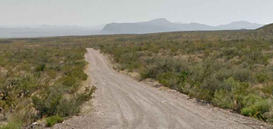
Glenn Springs Road is a scenic trail located in Brewster County, in the western part of the U.S. state of Texas. The road provides access to the small town of Glenn Springs, which was abandoned around 1920.

How Long is Glenn Springs Road?
Located in Big Bend National Park, the road is completely unpaved. It’s 25.42 km (15.8 miles) long, running from Park Route 12 to River Road E, near the Mexican border. It’s one of the most famous primitive dirt roads in Big Bend National Park.
How Challenging is Glenn Springs Road?
The road reaches an elevation of 1,063 m (3,487 ft) above sea level. The road is very rough, and a sturdy high-clearance vehicle is required. The numerous dry washes along this road may become extremely difficult to navigate after heavy rains, making four-wheel drive necessary.
Is Glenn Springs Road Worth the Drive?
This road skirts the eastern slopes of the Chisos Mountains and leads to the Glenn Springs Historic Site. As it descends from Glenn Springs to River Road, it generally becomes smoother. Glenn Springs Road provides access to two additional primitive roads that wind through rugged desert to the eastern flanks of the Chisos Mountains: Pine Canyon Road and Juniper Canyon Road.