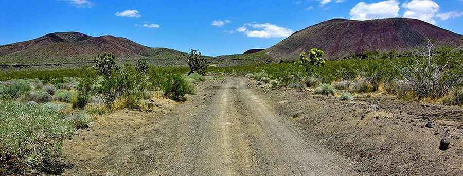
Aiken Mine Road: Otherworldly Landscapes of Basalt Flows in California
Aiken Mine Road is an old mining track located in the Mojave Desert of the U.S. state of California. 4x4 vehicles are recommended.

Where is Aiken Mine Road?
The road is located in San Bernardino County, in the southeastern part of California, within the Mojave National Preserve.
Is Aiken Mine Road unpaved?
The road is completely unpaved and runs across desert flats, skirting the edge of lava flows. It traverses otherworldly landscapes of basalt flows. Most of the road is wide and relatively well-graded (mostly two lanes wide), but it is sandy in places, rough in a few spots with some rocks, and can be washboarded. The lower section of Aiken Mine Road, from the paved road to the lava tube, is particularly washboarded, similar to other park dirt roads that receive a lot of 2WD traffic. It is recommended that your vehicle have very good tires since much of the road involves sharp and irregular lava rocks.
How long is Aiken Mine Road?
The road is 32.50 km (20.2 miles) long, running from the paved Cima Road to Kelbaker Road. It reaches an elevation of 1,538 m (5,045 ft) above sea level. The trail winds through the Mojave National Preserve’s famous cinder cone field and leads to Aiken Cinder Mine, once a bustling modern mining operation. The operators of this mine abruptly shut it down in 1990 and left all of their equipment behind.
Pic&video: BackRoadsWest1