Black Mountain is the highest road of Kentucky
Black Mountain is a mountain peak at an elevation of 1,263m (4,145ft) above sea level, located in Harlan County, in the US state of Kentucky.
What town is Black Mountain in Kentucky?
The peak, also known as Katahrin's Mountain, is located in the town of Lynch, in the southeastern part of Kentucky, near the Virginia border.
Where is the highest point in Kentucky?
At 4,145 feet, Black Mountain is the highest mountain peak in Kentucky. The summit is crowned with radio towers, an abandoned metal fire lookout tower, and transmitter buildings. Below the summit, there’s an FAA Radar.
Can you drive to the top of Black Mountain KY?
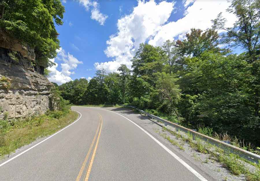
The curvy road to the summit is fully paved. It’s called Kentucky Route 160. In winter, the road gets icy. At the crest of this road, at the state border, a 2.73km (1.7 miles) long gravel road climbs up to the real summit. It’s called Black Mountain Ridge Road.
How long is the road to Black Mountain KY?
It’s 31.3km (19.5 miles) long, running west-east from Cumberland (in Harlan County, Kentucky) to Appalachia (in Wise County, Virginia).