O'Neil Pass is the highest paved road of South Dakota
O'Neil Pass is a mountain pass at an elevation of 2,046m (6,712ft) above sea level, located in Lawrence County, in the U.S. state of South Dakota. It’s said to be the highest paved road of South Dakota.
Where is O'Neil Pass?
The pass is located in the western part of the state, within the Black Hills National Forest.
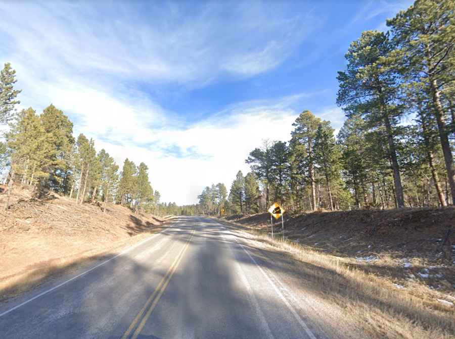
Is the road to O'Neil Pass in South Dakota paved?
The road to the summit is entirely paved. It’s called CanAm Highway, part of U.S. Route 85. The road to the summit is steep, hitting a 7% maximum gradient through some of the ramps.
How long is O'Neil Pass in South Dakota?
The pass is 40.55km (25.2 miles) long, running from Cheyenne Crossing (in Lawrence County, South Dakota) to Four Corners (in Weston County, Wyoming).
What to expect while driving through O'Neil Pass in South Dakota?
Watch for wildlife. It can be very dangerous in winter months, with ice and snow on the winding road. Just past the pass, you'll find Trailshead Lodge, a year-round lodge offering cabins and snowmobiling.