Driving the highest paved road in Washington to Sunrise Point
Sunrise Point is a natural viewpoint at an elevation of 1,957m (6,420ft) above sea level, located in Pierce County, in the U.S. state of Washington. It is the highest point that can be reached by vehicle at Mount Rainier National Park.
How to get by car to Sunrise Mt Rainier?
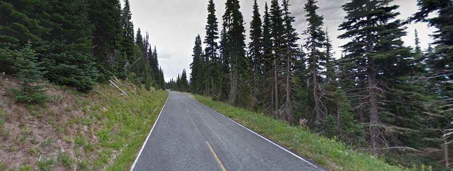
The road to Sunrise Point is totally paved. It’s called Sunrise Park Road or Sunrise Road.
Can I drive my vehicle to Sunrise Point in Washington?
Due to the steep, narrow, and winding nature of the Sunrise Road, it is recommended that RVs and vehicles with trailers longer than 25 ft. LOA not travel up the Sunrise Road beyond the White River Campground intersection.
How long is the road to Sunrise Point?
Starting at WA-410, the steep and winding road is 24.78km (15.4 miles) long. It was opened in 1931.
Is the road to Sunrise in Washington open?
It’s one of the highest roads of Washington. It usually opens in late June or early July and closes in late September to early October due to heavy snowfall in the winter. In late September, the road closes nightly at the junction with White River Campground and reopens each morning as conditions permit.
How long does it take to drive to Sunrise Point in Washington?
Plan about 30 minutes to complete the drive without any stops. However, the drive is very scenic and will take much longer. At the end of the road, there’s a big parking lot. Sunrise Point is a must-see destination for visitors to the national park. On clear summer days, the summit provides breathtaking views and a 360-degree view of the surrounding valleys, Mount Rainier, and other volcanoes in the Cascade Range such as Mount Adams. If you look carefully, you can also see the summit of Mt. St. Helens.