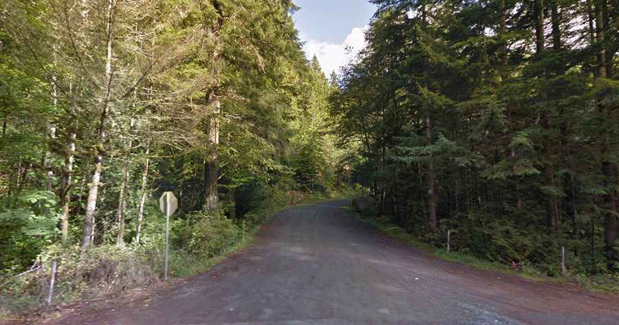
A steep unpaved road to the summit of Mount Walker in Washington
Mount Walker is a mountain peak at an elevation of 844m (2,769ft) above sea level, located in Jefferson County, in the U.S. state of Washington. The road to the summit is brutally steep, reaching a 25 percent gradient on some sections.

Where is Mount Walker?
The mountain is situated in the northern part of Washington, on the eastern side of the Olympic Peninsula, within the Olympic National Forest. The summit once had a fire lookout, which was dismantled in 1967, and offers stunning views.
Is the road to Mount Walker unpaved?
Yes, the road to the summit, built by the Civilian Conservation Corps (CCC), is completely unpaved. It’s called Mount Walker Road (Forest Service Road 2730) and leads to the top of the mountain.
How long is the road to Mount Walker?
This popular drive is narrow and steep, with a few turnouts. It begins five miles south of Quilcene on U.S. Highway 101 (Olympic Highway). The road is 8.2 km (5.1 miles) long. Over this distance, the elevation gain is 693 meters, with an average gradient of 8.45%.
Is the road to Mount Walker open?
Set high in the Olympic Range, trailers and motorhomes are prohibited. The road is closed during the winter months and typically opens by May 1. There are fewer visitors during the winter when the summit road is closed.