Road Trip Guide: Conquering Mount Spokane in Washington
Mount Spokane is a high mountain peak at an elevation of 1,785m (5,856ft) above sea level, located in Spokane County, in the U.S. state of Washington.

Where is Mount Spokane?
The peak is located northeast of Spokane, in the northeastern part of Washington, near the Idaho border, within Mount Spokane State Park, one of the largest state parks in Washington.
Is Mount Spokane Worth a Visit?
The summit is crowned with communication towers. The mountain has been called Mount Carlton and Mount Baldy, and it got its current name in 1912. It’s the highest point in Spokane County, and the top is worth a visit. You can enjoy spectacular vistas and wildlife on the road to the summit, with views of Idaho, Montana, and Canada. Keep an eye out for deer as they often cross the road.
How Long is the Road to Mount Spokane?
The road to the summit is fully paved, though the last few miles are a bit rough. It’s called Summit Road, constructed by Francis H. Cook in 1912. The drive is quite steep. Starting from Mount Spokane Park Drive, the ascent is 6.43km (4.0 miles) long, with an elevation gain of 406 meters. The average gradient is 6.31%.
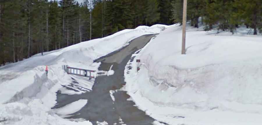
Is the Road to Mount Spokane Open in Winter?
Set high in the Selkirk Mountains, the road to the summit is generally open from mid-June through mid-October.