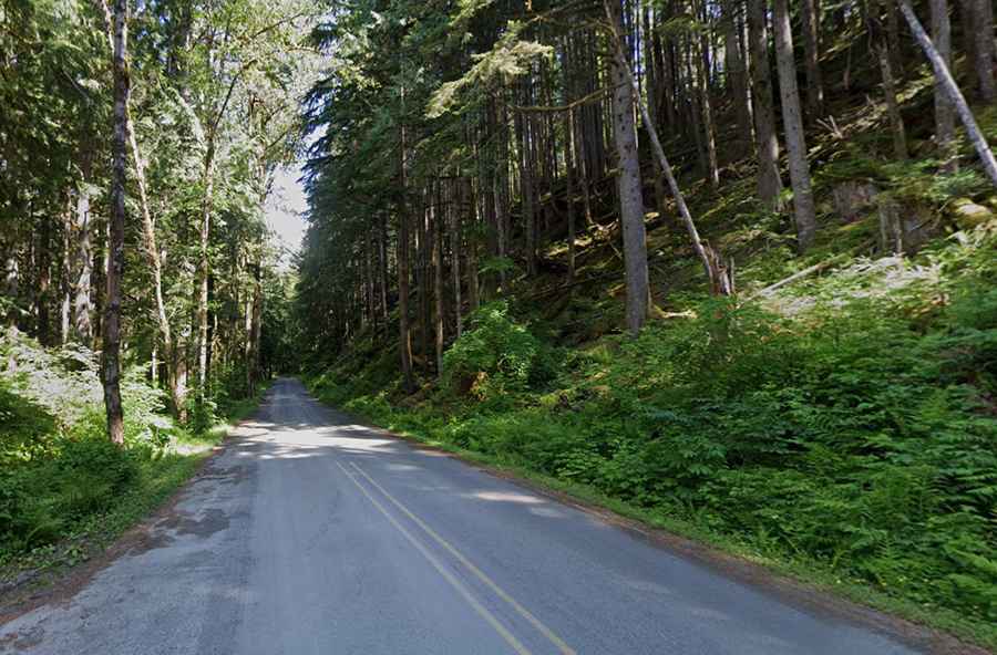
Travel guide to the top of Barlow Pass in Washington
Barlow Pass is a mountain pass at an elevation of 718m (2,355ft) above sea level, located in Snohomish County, in the U.S. state of Washington.

Where is Barlow Pass?
The pass is located in the northwestern part of Washington, within the Mt. Baker-Snoqualmie National Forest. Parking is available at the summit. Bring water because surface water in the area has been found to contain arsenic and other heavy metals in amounts that exceed drinking water standards.
What is the road to Barlow Pass called?
Set high on the west side of the Cascade Range, the road to the summit is called Mountain Loop Highway. It’s a very scenic drive surrounded by towering mountains in every direction.
Is the road to Barlow Pass paved?
It’s half-paved, half-gravel. It is paved at both ends, and the middle portion around Barlow Pass (14 miles / 21 km) is a single-lane gravel road. Portions of the unpaved section are often closed due to flood damage.
How long is the road to Barlow Pass?
The road is 84.49 km (52.5 miles) long, running from Granite Falls, between the Pilchuck and Stillaguamish rivers, to Darrington.
Where to start the trail to Monte Cristo?
The pass is the access point for the trail to Monte Cristo, a mining ghost town. It’s a 4-mile road closed (with rocks) to motorized traffic, extremely dangerous to try to drive. The trail is fairly level, with a few steep spots. Floods in 2003 and 2006 have also taken chunks out of the road, which provides ample evidence as to why this road was never re-opened.