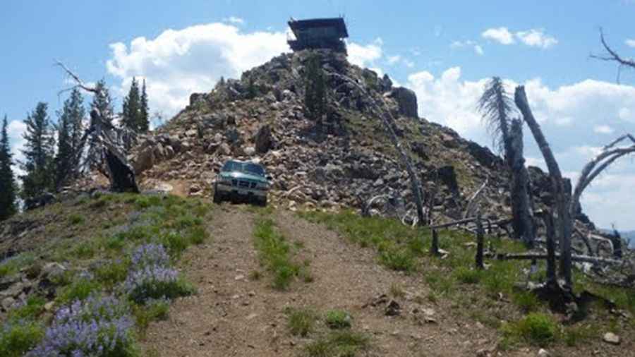
A long rough road to Middle Fork Peak in Idaho
Middle Fork Peak is a high mountain peak at an elevation of 2,767m (9,078ft) above sea level, located in Lemhi County, in the US state of Idaho. It's one of the highest roads in Idaho.

Where is Middle Fork Peak?
The peak is located in the northern part of Idaho, within the Salmon-Challis National Forest. The summit hosts a lookout built in 1929, which was replaced in 1962 with the present 10' concrete base featuring an R-6 flat cab, staffed during the summer months.
Is the road to Middle Fork Peak unpaved?
The road to the summit is completely unpaved. It is called Forest Road 112. A 4WD vehicle with exceptionally good tires is required. The drive is not suitable for beginners or lightweight SUVs.
How long is the road to Middle Fork Peak?
Starting from Forest Road 055, near Forney, the road is 46.83 km (29.1 miles) long.
Is the road to Middle Fork Peak open in winter?
Set high in the Salmon River Mountains, the road is usually impassable in winter.
Pic: youshakeitbaby