If You Love to Drive, You’ll Love the Road to Cayuse Pass in Washington
Cayuse Pass is a high mountain pass at an elevation of 1,425 m (4,675 ft) above sea level, located in the U.S. state of Washington.

Where is Cayuse Pass?
The pass is located on the boundary between Pierce and Yakima counties, in the central part of Washington.
Is Cayuse Pass Paved?
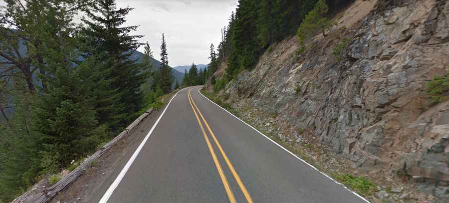
The road to the summit is fully paved and is called WA-123. The route is challenging, with countless twists and turns. At the summit, the road intersects with SR 410, part of the scenic Chinook Scenic Byway.
How Long is the Road Through Cayuse Pass?
The pass spans 16.3 km (10.12 miles), running south to north from the paved US-12 road to Chinook Pass on SR 410.
Is Cayuse Pass Open in Winter?
Set high in the Cascade Range, Cayuse Pass typically closes in November due to heavy snowfall and high avalanche risk. It usually reopens in mid-May, and snow depths at the summit can reach up to 15 feet. The pass closes each fall due to avalanche risk, poor road conditions, limited snow storage, and the absence of emergency response services nearby.