A memorable road trip to Banner Creek Summit in Idaho
Banner Creek Summit is a high mountain pass at an elevation of 2,153 meters (7,063 feet) above sea level, located in the U.S. state of Idaho.
Where is Banner Creek Summit?
The pass is located on the boundary between Boise and Custer counties, in the central part of Idaho.
Why is it called Banner Creek Summit?
The pass is named after the nearby Banner Creek.
Is Banner Creek Summit paved?
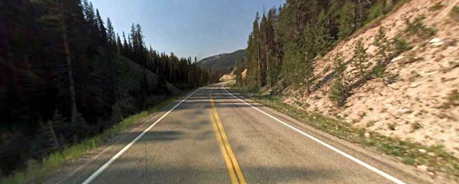
The road to the summit is fully paved. It’s called State Highway 21, also known as the Ponderosa Pine Scenic Byway. It’s a narrow, winding road with some steep grades and two lanes with occasional passing lanes.
How long is the road through Banner Creek Summit?
The road through the pass is 93.50 kilometers (58.1 miles) long, running west to east from Lowman (in Boise County) to Stanley (in Custer County).
Is Banner Creek Summit open in winter?
Set high in the Salmon River Mountains, the road is usually not maintained during the winter months due to light traffic and heavy snowfall, so road closures can be frequent. There is a danger of rockfalls and severe avalanches.