Driving the iconic road to Minaret Summit in Sierra Nevada
Minaret Summit is a high mountain pass at an elevation of 2,824m (9,265ft) above sea level, located in the U.S. state of California. It's one of the highest roads in California.
Where is Minaret Summit?
The summit is located on the boundary between Mono and Madera counties, in the eastern part of California, within the Inyo National Forest.
How long is the road to Minaret Summit?
The scenic road to the summit is fully paved. It’s called California State Route 203 (also known as Minaret Road). Starting from Mammoth Lakes, the road to the summit is 9.97km (6.2 miles) long, with an average gradient of 5.4%, making it a steep drive.
Is the road to Minaret Summit worth the drive?
The summit features a small parking lot, picnic tables, bathroom facilities, and the Minaret Vista Point, offering some of the best views in the eastern Sierra Nevada. Be sure to take in the breathtaking views of Mt. Ritter, Mt. Banner, and, of course, the Minarets. Just beyond the summit lies Devils Postpile National Monument, home to one of the world's most remarkable geological formations—columnar basalt that resembles stacked posts.
Is the road to Minaret Summit open in winter?
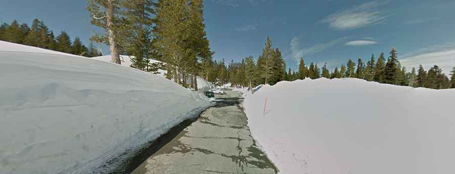
Located high in the central Sierra Nevada mountain range, the summit receives significant snowfall in winter. The road is generally closed to vehicular traffic from late November to early April, depending on weather conditions.
Pic: Josh Wray