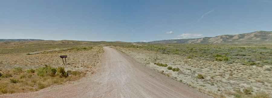
Driving the historic road to Bridger Pass in Wyoming
Bridger Pass is a high mountain pass at an elevation of 2,322m (7,618ft) above sea level, located in Carbon County, in the US state of Wyoming.

Why is it called Bridger Pass?
The pass is named after Jim Bridger, who traveled through the area prior to 1861.
Is the road through Bridger Pass in Wyoming unpaved?
Set high on the Continental Divide, the county dirt road to the summit is totally unpaved. It’s called Bridger Pass Road. The road follows the same general course as the old Overland Trail. Hikers face a challenge in this section due to the absence of drinkable water caused by the brackish nature (salinity) of the water in the basin.
How long is Bridger Pass in Wyoming?
Located in the southern part of Wyoming, the pass, also known as Bridger’s Pass, is 24.94km (15.5 miles) long, running northeast from Emigrant Trail to WY-71 (Sage Creek Road). When the snow falls - which it does in the winter – things get tough and slippery.