Sherman Pass in California has lots of twists and turns
Sherman Pass is a high mountain pass at an elevation of 2.804m (9,200ft) above sea level, located in Tulare County, in the U.S. state of California. The road features lots of twists and turns and is one of the highest roads in California.
Where is Sherman Pass?
The pass is located on the eastern side of Sequoia National Forest on the edge of the Kern Plateau, in the central-eastern part of California.
Is Sherman Pass road paved?
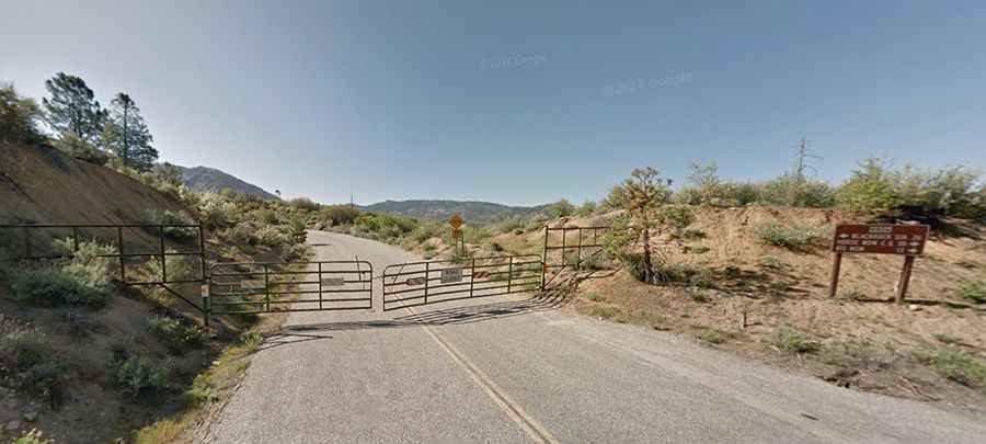
The road to the summit is fully paved and known as Sherman Pass Road (Forest Route 22S05). It offers a scenic drive with numerous twists and turns and steep grades.
Is Sherman Pass dangerous?
The road consists of 2 lanes but is narrow, measuring only 18 feet wide. It is steep, with some sections reaching up to a 9% gradient. The terrain is mountainous, with extreme drop-offs on the edges of the road.
Is Sherman Pass worth it?
It's considered one of the most remote and challenging climbs in California. However, reaching the summit rewards travelers with stunning views of the Sierra Crest and Mount Whitney.
Is Sherman Pass open?
The road through the summit is seasonally closed and typically opens from late May or early June, depending on snow, until the snowfall in late fall or winter. Travelers should be aware that the summer heat can be stifling.
How long is Sherman Pass?
The pass connects the villages of Johnsondale (in Tulare County) and Linnie (in Inyo County) on US-395 Road, spanning a distance of 117km (73 miles)