White Mountain Peak in California is one of the highest roads in the USA
White Mountain Peak is a high mountain peak at an elevation of 4.347m (14,261ft) above sea level, located in Mono County, in the U.S. state of California. The peak is arguably California's easiest fourteener via a jeep road. It's one of the highest roads in the USA.
Where is White Mountain Peak?
The peak is located in the White Mountain range, to the east of the great Sierra Nevada, within the Inyo National Forest, on the eastern part of California.
Can you drive to the top of White Mountain CA?
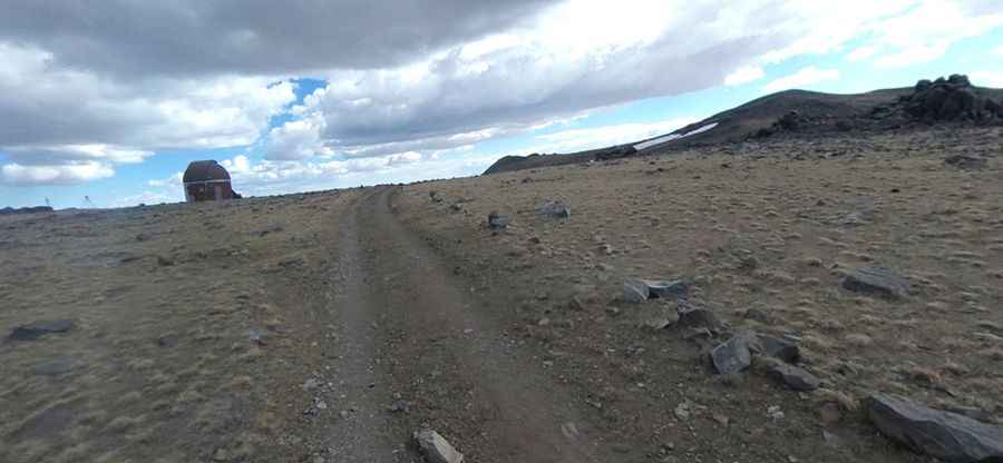
A rough 4x4 dirt road past Barcroft Research Station leads directly to the summit of the mountain, also known as White Mountain. This is a long and windy road, very bumpy. Access is restricted by a locked gate about 2 miles before Barcroft station, but White Mountain Research Station usually opens this locked gate at 3.560m (11,680ft) twice each year. This section of the trail is not for the faint-hearted – it is steep, and there are spots where a slip or fall could cause serious injury. The University of California operates a small hut at the summit called White Mountain Research Station Summit Laboratory. It's one of the highest roads in California.
Is the road to White Mountain Peak in CA open?
The road to the summit (the third-highest peak in the state) is usually closed in winters, as conditions are extremely severe. Conditions can change rapidly, and roads that may be open in the morning can be snowed in and impassable later in the day. The summit of White Mountain Peak offers great 360 views from the Eastern Sierras to Nevada.
Is the road to White Mountain Peak in California steep?
The road to the summit is very steep, hitting a 17% maximum gradient through some of the ramps. Starting at Barcroft Field Station, the ascent is 9.01km (5.6 miles) long. Over this distance, the elevation gain is 557 meters. The average gradient is 6.18%.