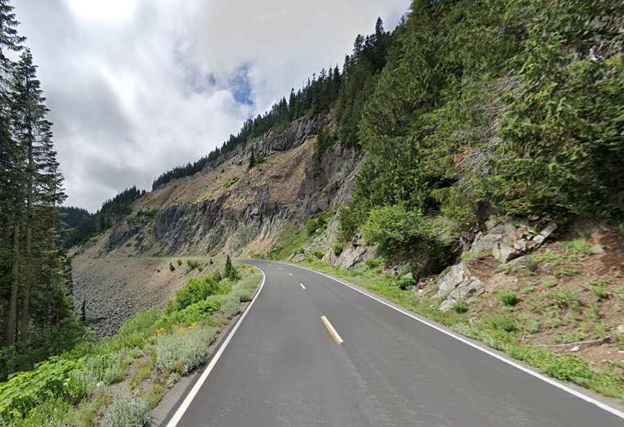
Chinook Pass is a premier drive in Washington
Chinook Pass is a high mountain pass at an elevation of 1.655m (5,430ft) above sea level, located in Yakima County, in the U.S. state of Washington.

Where is Chinook Pass?
The pass sits between the towns of Enumclaw and Naches, in the southern part of the state of Washington.
When was the road to Chinook Pass built?
The road was completed in 1931. This two-lane road wraps around the northeastern flank of the iconic Mount Rainier.
Is the road to Chinook Pass paved?
Set high in the Cascade Range, the road to the summit is totally paved. It’s called SR 410, Chinook Scenic Byway, and Stephen Mather Memorial Parkway. Commercial vehicles are prohibited at all times.
Is the road to Chinook Pass worth it?
Located five miles east of the Cayuse Pass summit, the road is a delight to drive, with every kind of twist and turn. It is considered to be one of the most beautiful routes in the United States. The pass provides the east entrance to Mount Rainier National Park. There are spectacular views of Mount Rainier, dense forests, towering peaks, rocky ridges, and river canyons dominating this journey. As commercial vehicles are not allowed through the National Park section of State Route 410, this route is also favored by summer tourism.
Is Chinook Pass open?
The pass is typically closed sometime in mid-November each year. The target date for reopening in the spring is Memorial Day weekend, although that depends on the amount of snow that falls during the winter months, as well as spring weather conditions. The pass closes every fall due to avalanche danger, poor road conditions, lack of snow storage, and no emergency response services within close proximity.